
Thac Ba Lake was formed when the Thac Ba hydropower dam was finished in 1971, blocking the Chay river. It stretches about 80 kilometres and holds 3 to nearly 4 billion cubic metres of water, fed by the Chay and by several tributaries. More than 1,300 islands of all sizes rise from the water, with many caves and fine scenery, and the lake area has been recognised as a national historical and cultural site since 1996. In the limestone hills around it are Thuy Tien cave, about 100 metres long with glittering stalactites, and Xuan Long cave, while Cao Bien, the longest ridge, gives views over the lake in the mist. Villages along the shore are home to the Tay, Nung, Hmong, Dao, Phu La and Cao Lan peoples, with festivals such as the Tay new rice celebration and the Dao jumping festival. The lake is about 180 kilometres north west of Hanoi.
Open directions, explore nearby places in this province, or read reviews before you go.
A few more places in this province to keep shaping your route.

The Mu Cang Chai terraced fields cover mountain slopes in Lao Cai, with appearance changing through planting and harvest cycles.

Khau Pha Pass is a mountain road in Lao Cai with numerous bends and viewpoints over valleys and terraced fields.
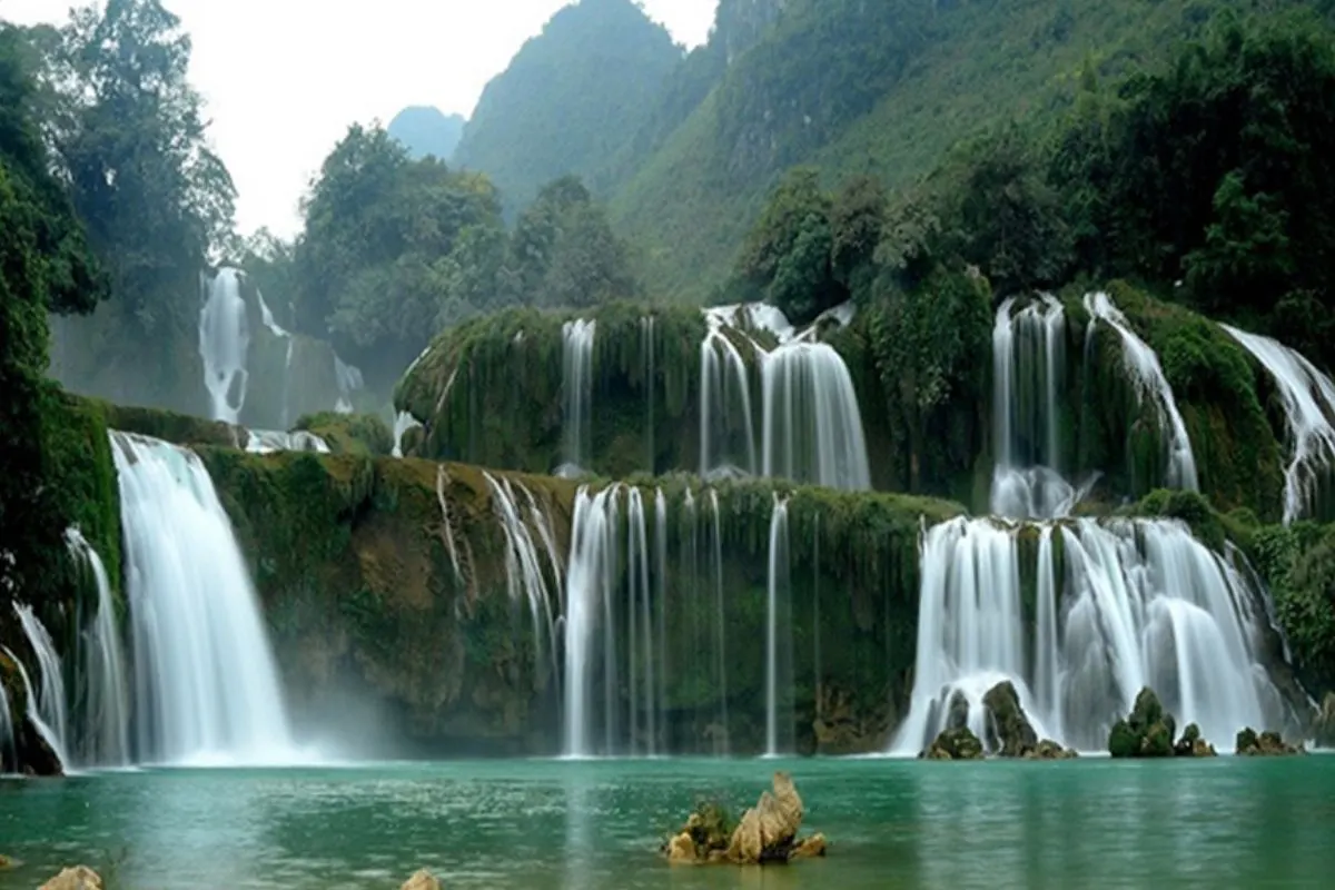
A waterfall over 200 m high beside National Route 4D below O Quy Ho pass, visible from Ham Rong mountain on clear days.
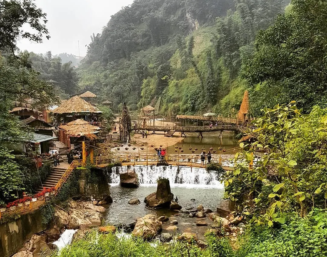
A Hmong village below the Hoang Lien Son range 2 km from central Sa Pa, keeping indigo dyed brocade weaving and silver craft.
Log in to share your experience and help others choose the right place.
No reviews yet. Be the first!