
The Mu Cang Chai terraced fields are distributed across mountain slopes and settlements along roads in Lao Cai. Their surface and colour change through soil preparation, planting, growth and harvest, so no single landscape period applies to every area. Some viewpoints lie near mountain roads or on land managed by residents. Park only in suitable places, avoid standing at bends, ask before entering fields or photographing people, and check weather and road conditions before travelling.
Open directions, explore nearby places in this province, or read reviews before you go.
A few more places in this province to keep shaping your route.

Khau Pha Pass is a mountain road in Lao Cai with numerous bends and viewpoints over valleys and terraced fields.
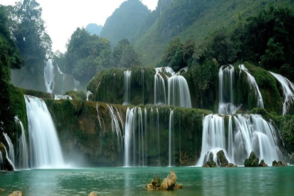
A waterfall over 200 m high beside National Route 4D below O Quy Ho pass, visible from Ham Rong mountain on clear days.

A reservoir about 80 km long on the Chay river, formed in 1971, dotted with more than 1,300 islands and limestone caves.
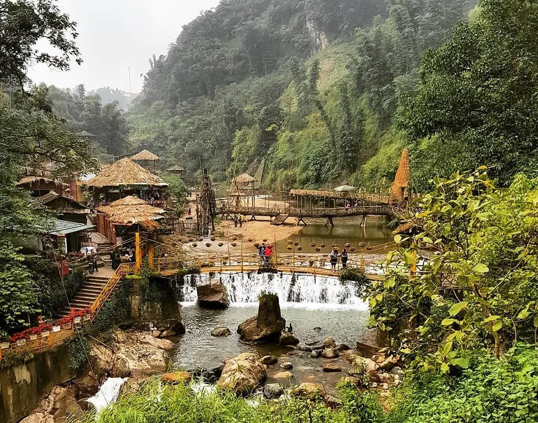
A Hmong village below the Hoang Lien Son range 2 km from central Sa Pa, keeping indigo dyed brocade weaving and silver craft.
Log in to share your experience and help others choose the right place.
No reviews yet. Be the first!